Log in
All resources
Create a design
34,149 Free Images of 1768 Maps
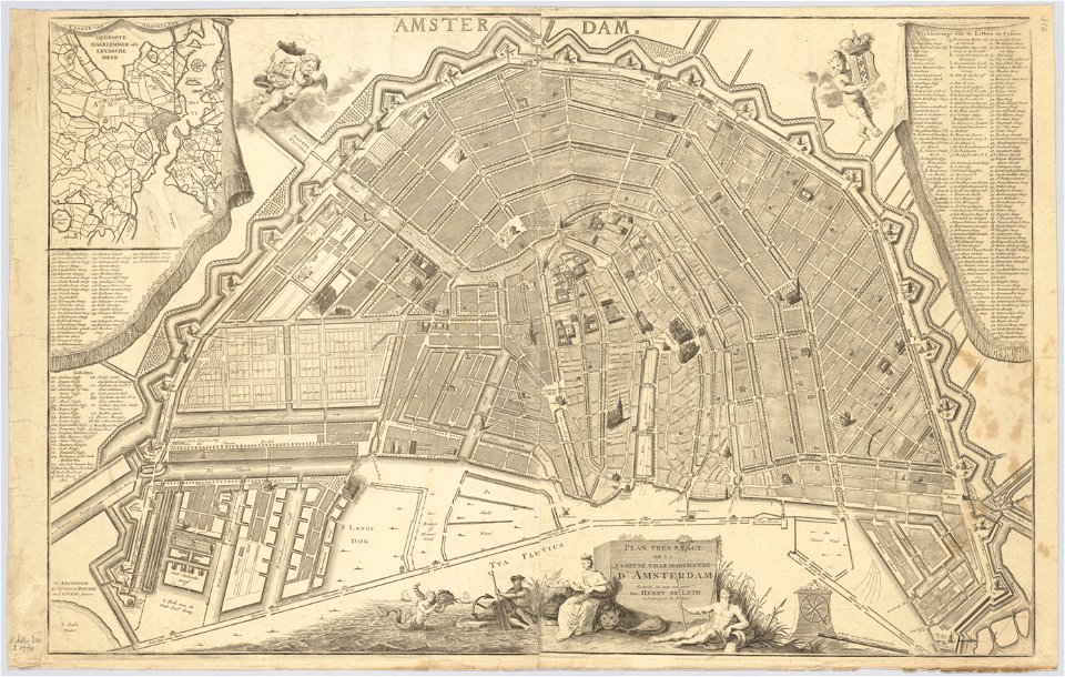
maps in the stadsarchief amsterdam
hendrik de leth
maps made in the 17th century
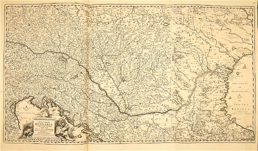
maps by pieter schenk (i)
gerard valck
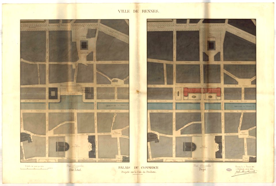
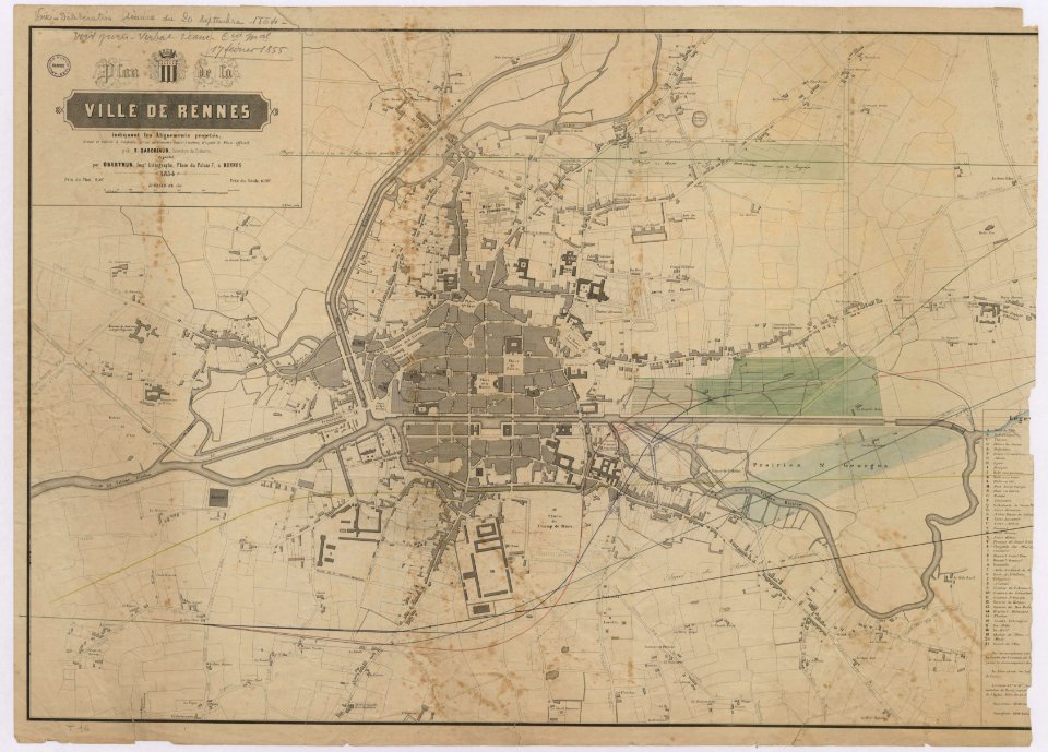
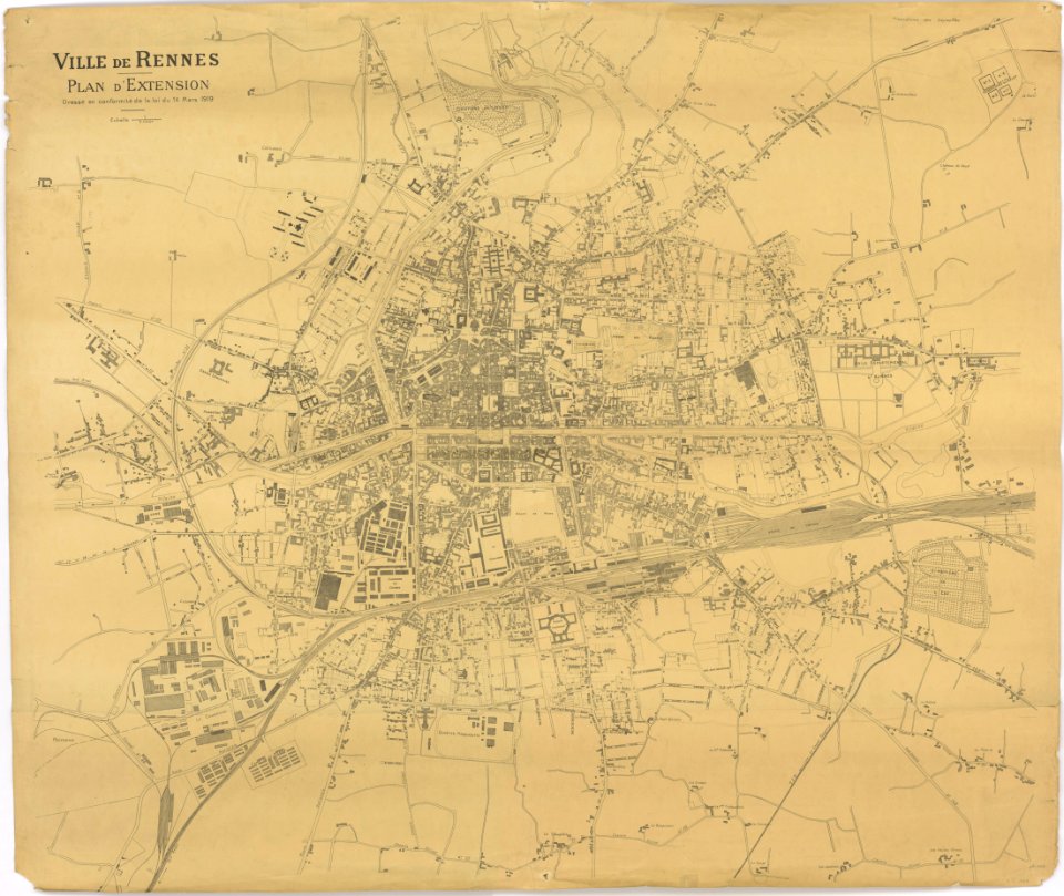
old maps of rennes
atlantis magni tomus quartus (biblioteca comunale di trento)
atlantis magni tomus primus (biblioteca comunale di trento)
description de l'universe
atlantis magni tomus tertius (biblioteca comunale di trento)
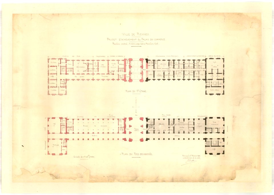
jean-baptiste martenot
rennes in the 1890s
jean-baptiste martenot
rennes in the 1880s
jean-baptiste martenot
1885 maps
old maps of rennes
gare de rennes
tramway de rennes
1928 in bretagne
atlantis magni tomus tertius (biblioteca comunale di trento)
maps made in the 17th century
prints from manesson travaux de mars at the peace palace library
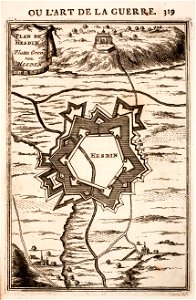
regular hexagons
gerard valck
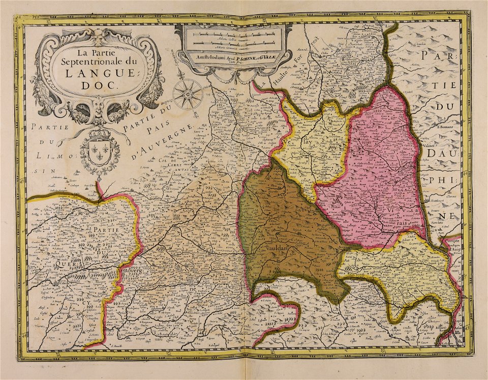
languedoc
atlantis magni tomus tertius (biblioteca comunale di trento)
maps made in the 17th century
maps made in the 17th century
old maps of gelderland
maps made in the 17th century
cornelis danckerts (ii)
hand-drawn maps and views of world war i battlefields by h.m.
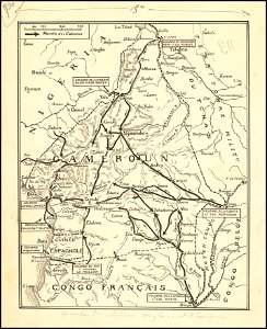
old maps of cameroon
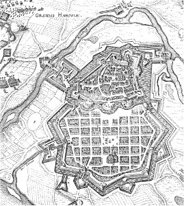
history of hanau
maps of hanau
maps made in the 17th century
adam olearius
maps made in the 17th century
cornelis danckerts (i)
maps made in the 18th century
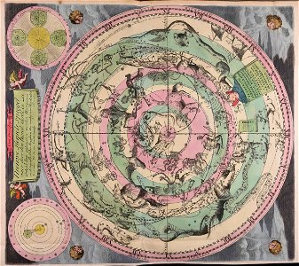
old celestial maps
1867 engravings
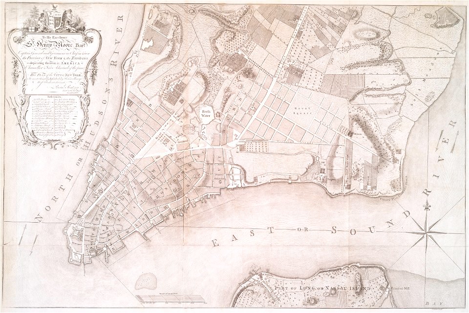
new york city
gerard valck
sardinia
images from the new york public library
francis d'avignon
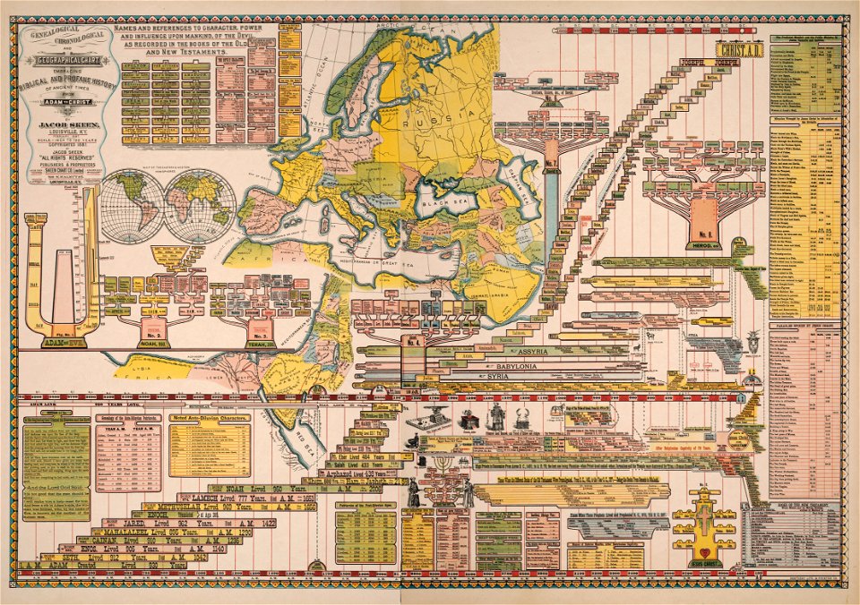
genealogy
shaker
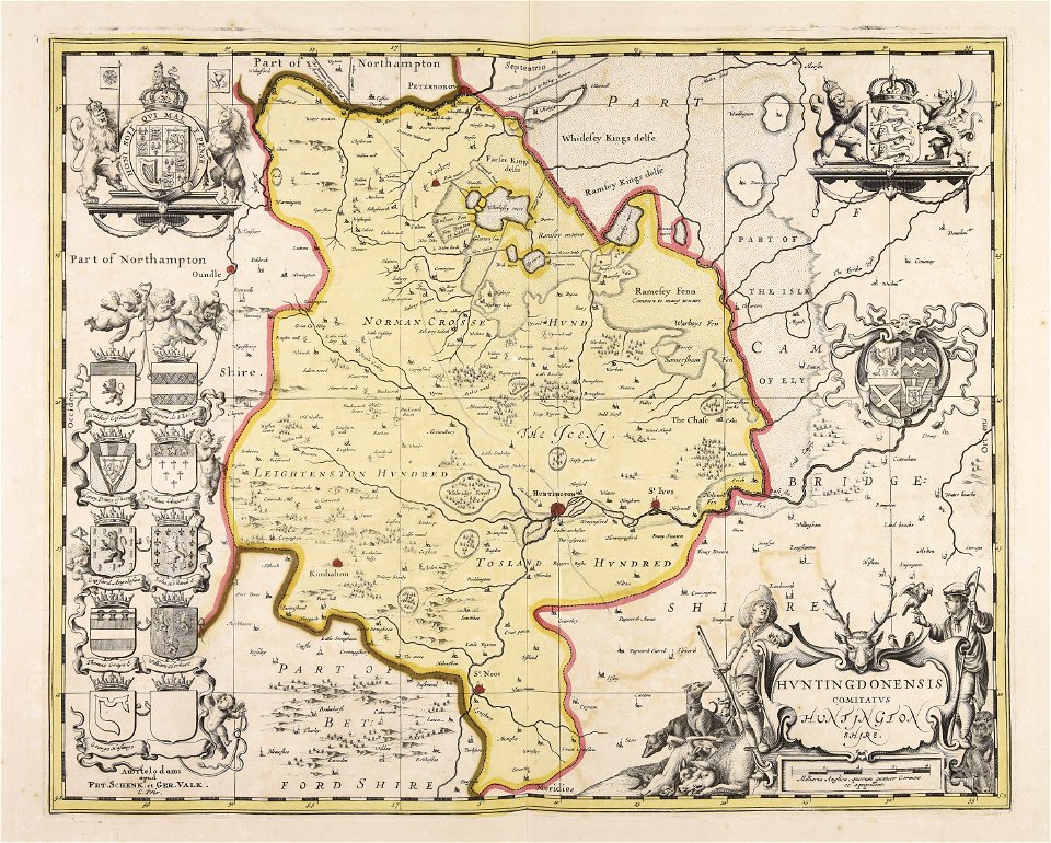
huntingdonshire
gerard valck
atlantis magni tomus quintus (biblioteca comunale di trento)
maps made in the 18th century
images from the new york public library
new york city
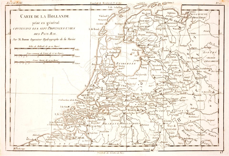
1780 maps of the netherlands
1780 maps of germany
maps made in the 18th century
maps by pieter schenk (i)
maps by johannes janssonius
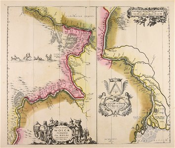
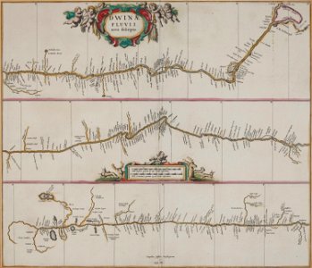
severnaya dvina river
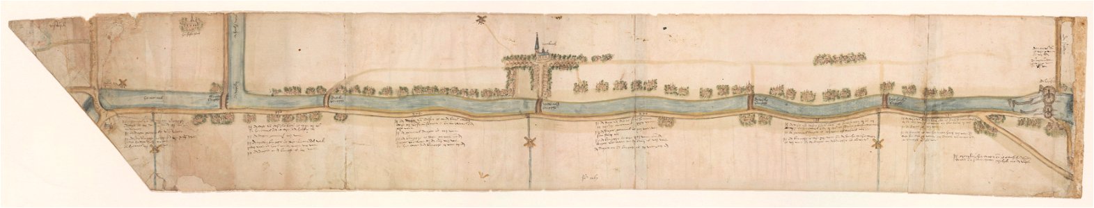
leidschendam
voorburg
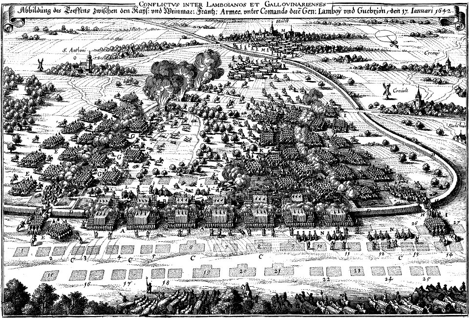
maps of battles of the thirty years' war
engravings of theatrum europaeum
old maps of rhineland-palatinate
maps made in the 17th century
octagons (architecture)
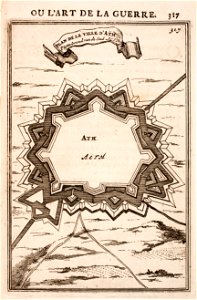
maps of ath city walls
gerard valck
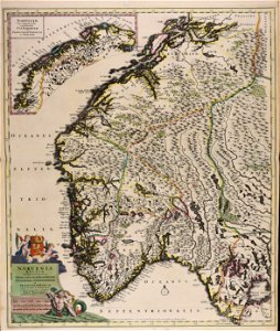
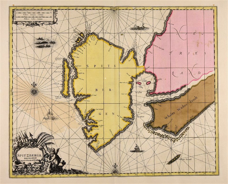
spitsbergen
gerard valck
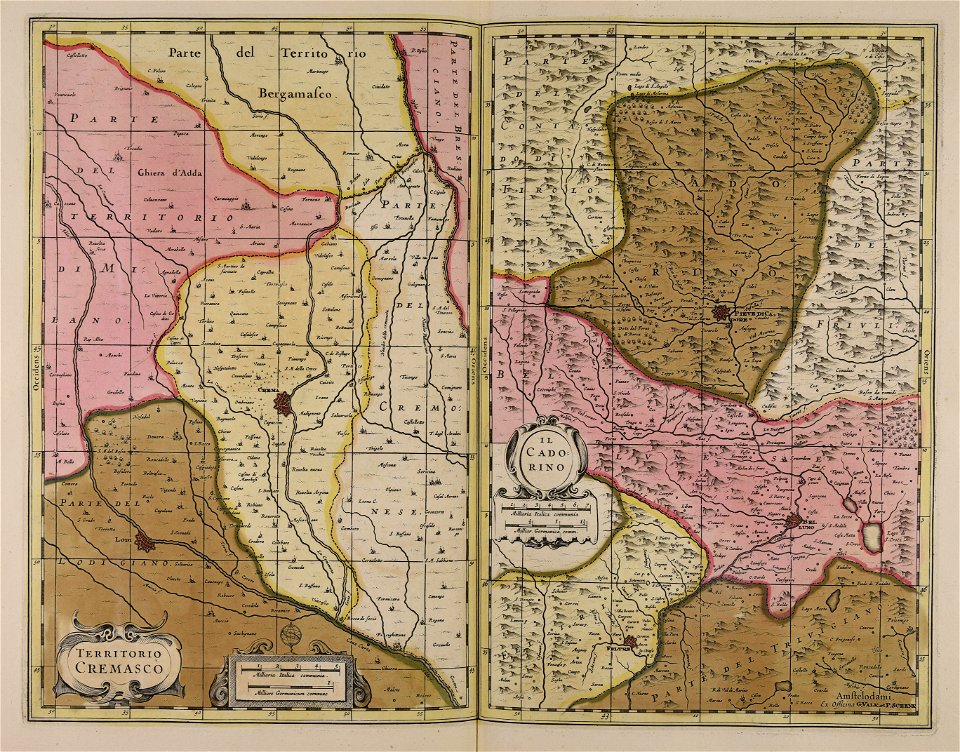
cadore
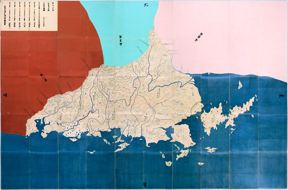
important cultural property of japan in tokyo
maps in the national archives of japan
gerard valck
syria
johann baptist homann
sistema solar
brännkyrka kyrka
älvsjö gård
1790s drawings
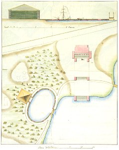
palace park
maps made in the 17th century
maps by nicolaes visscher i
gerard valck
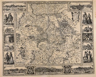
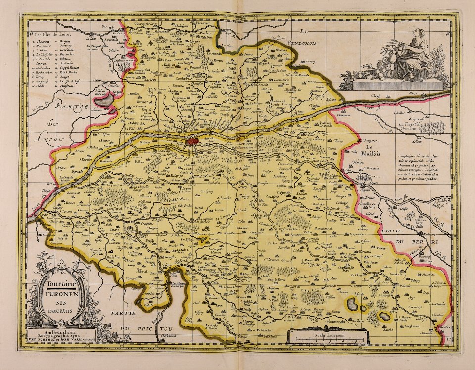
touraine
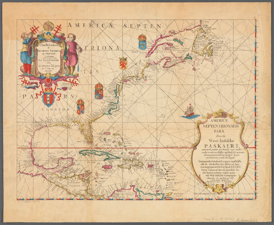
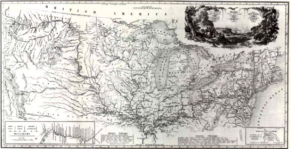
old maps of north america
1843 maps
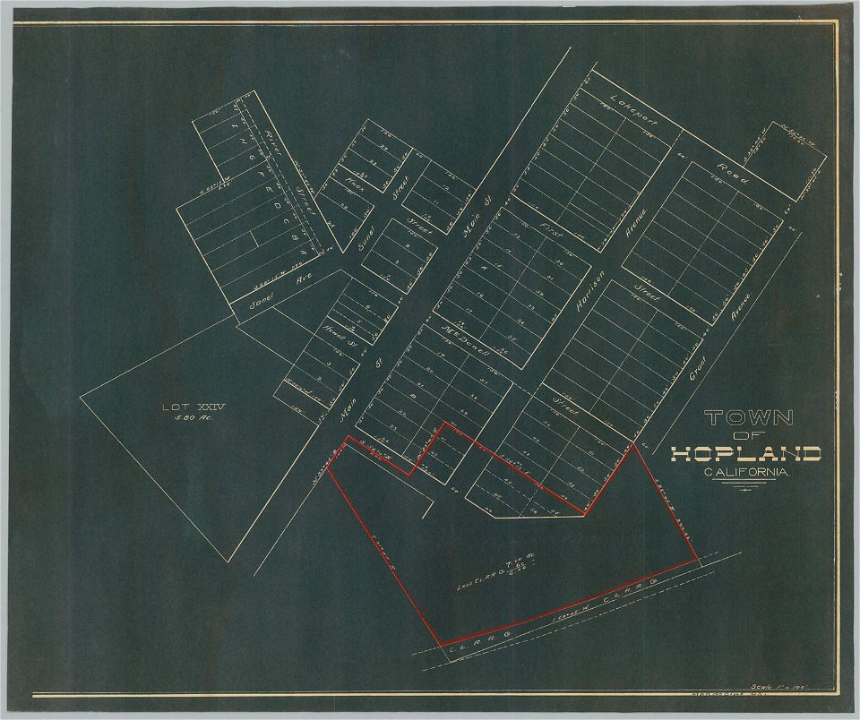
bancroft library collections
california
gerard valck
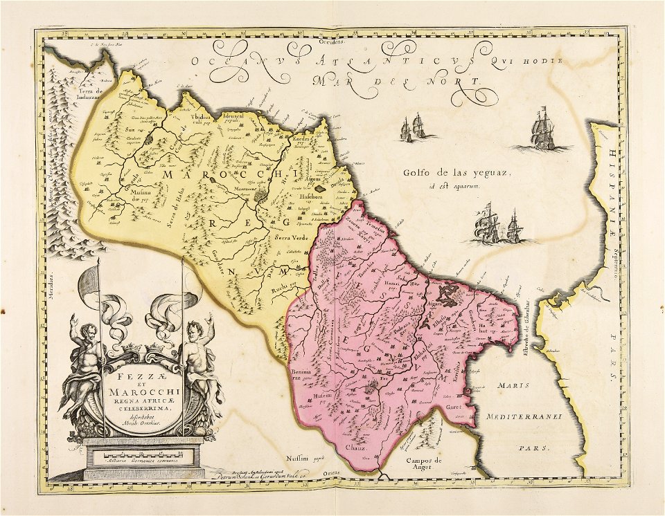
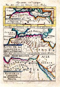
marocco
maps made in the 17th century
netherlands
collections of musée de la compagnie des indes
18th-century maps of indonesia
facing right and looking at viewer
william hoare
star of the order of the seraphim in portrait paintings
portrait paintings in the nationalmuseum stockholm
portrait drawings by carmontelle in the musée condé
facing left
paintings by jacob philipp hackert
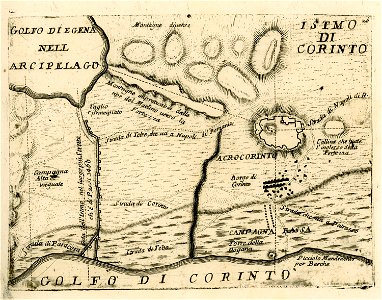
patras
portrait paintings of maria teresa of the two sicilies
portrait paintings of francis ii, holy roman emperor
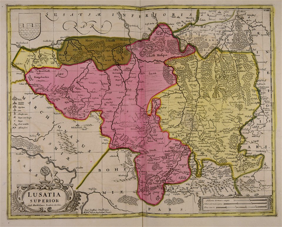
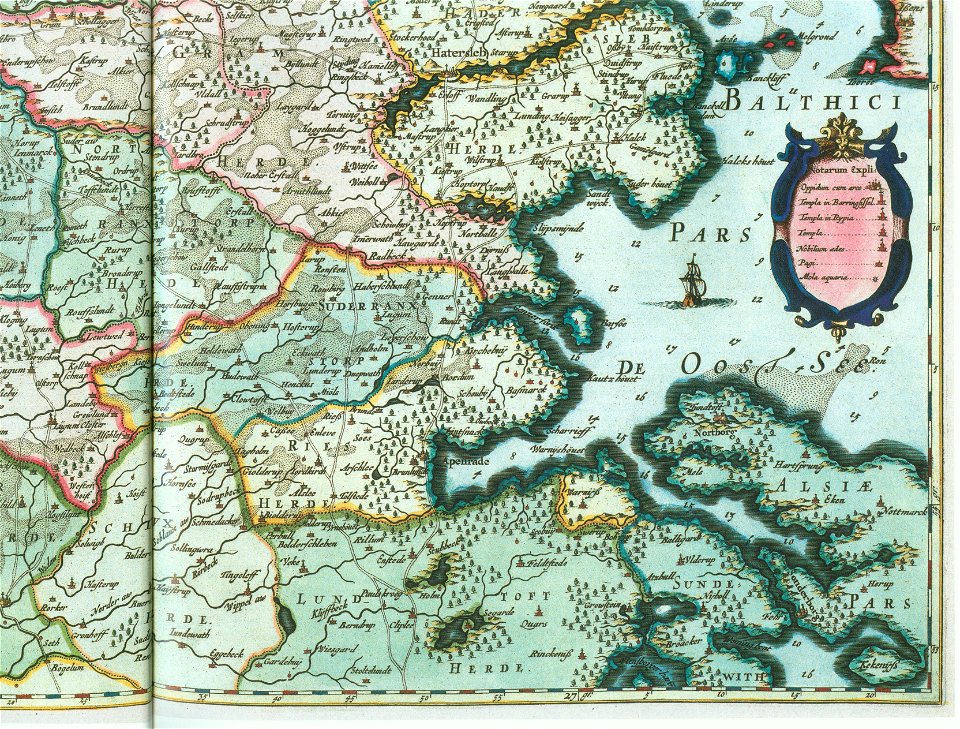
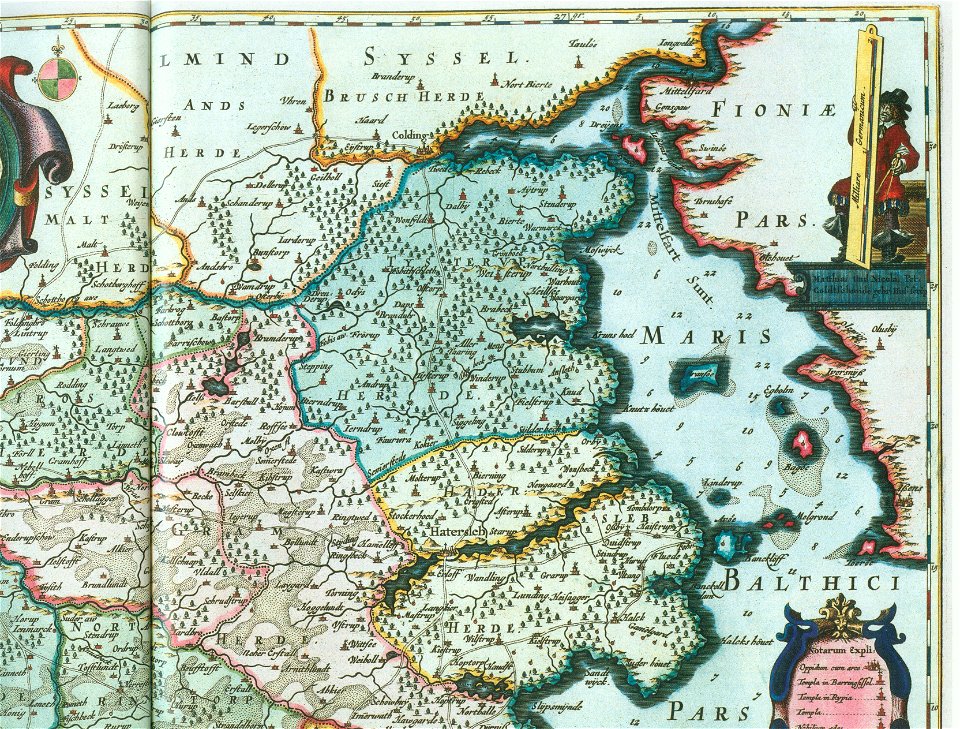
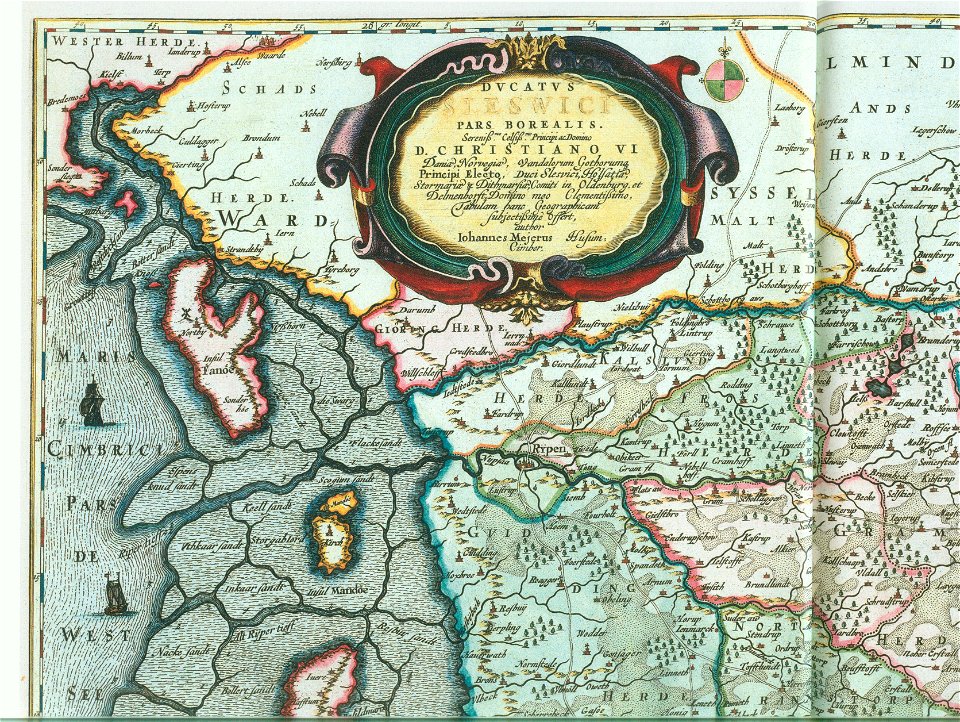
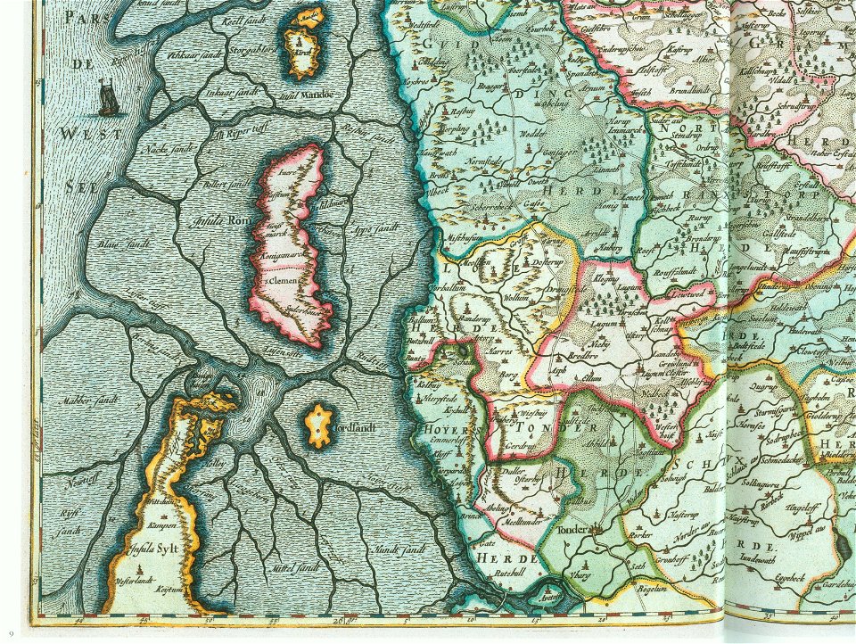
ducatus sleswici pars borealis
maps by johannes mejer
ducatus sleswici pars borealis
maps by johannes mejer
ducatus sleswici pars borealis
maps by johannes mejer
ducatus sleswici pars borealis
maps by johannes mejer
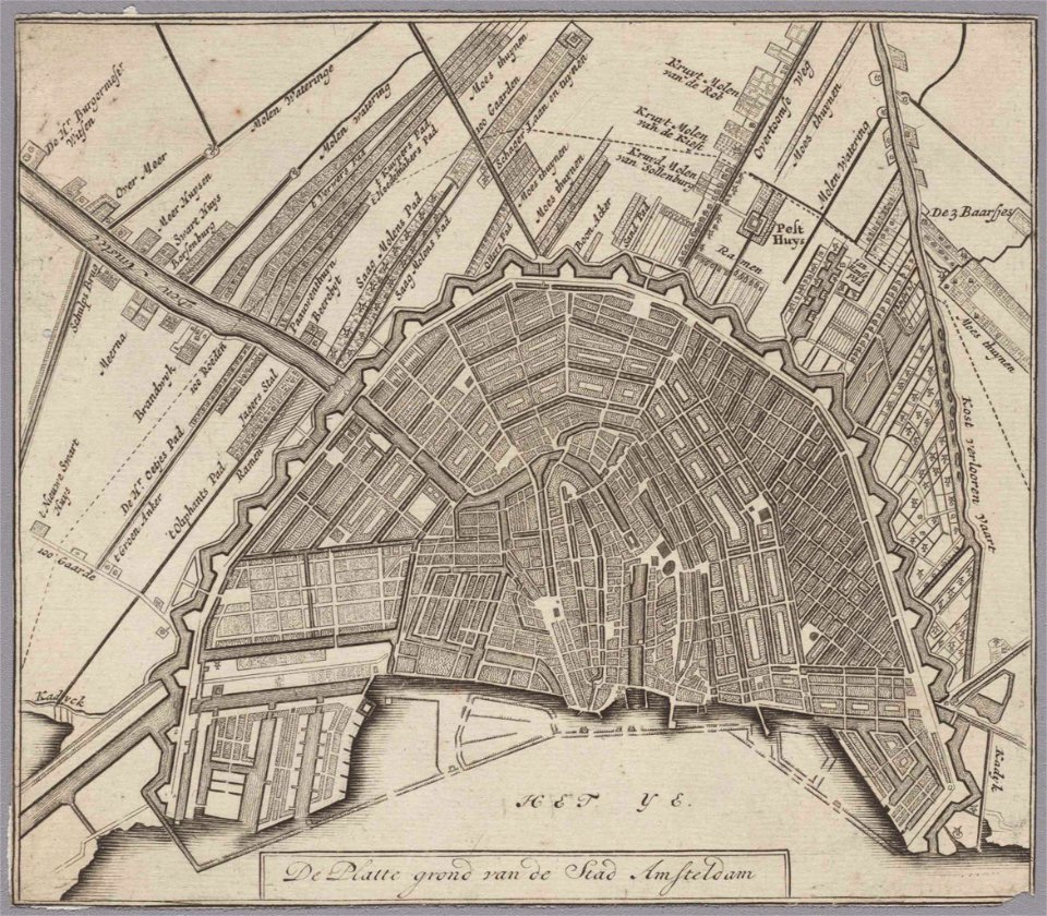
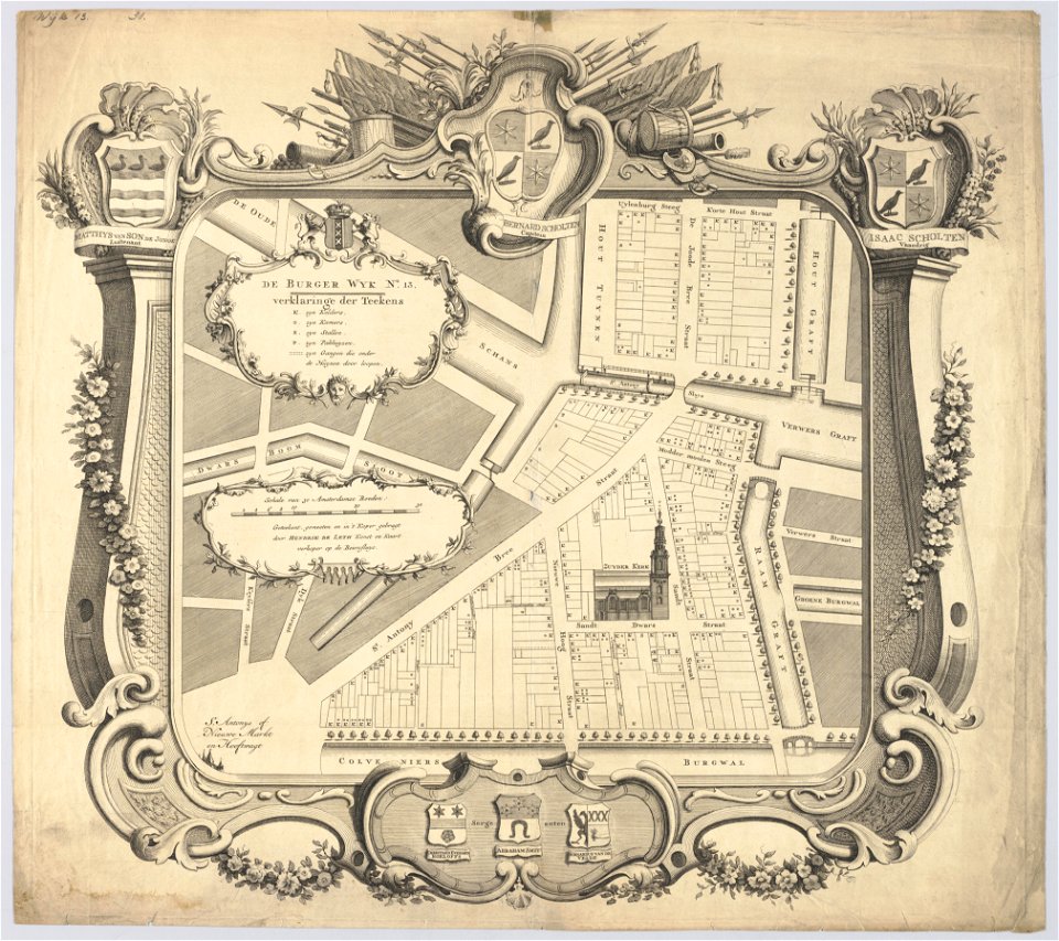
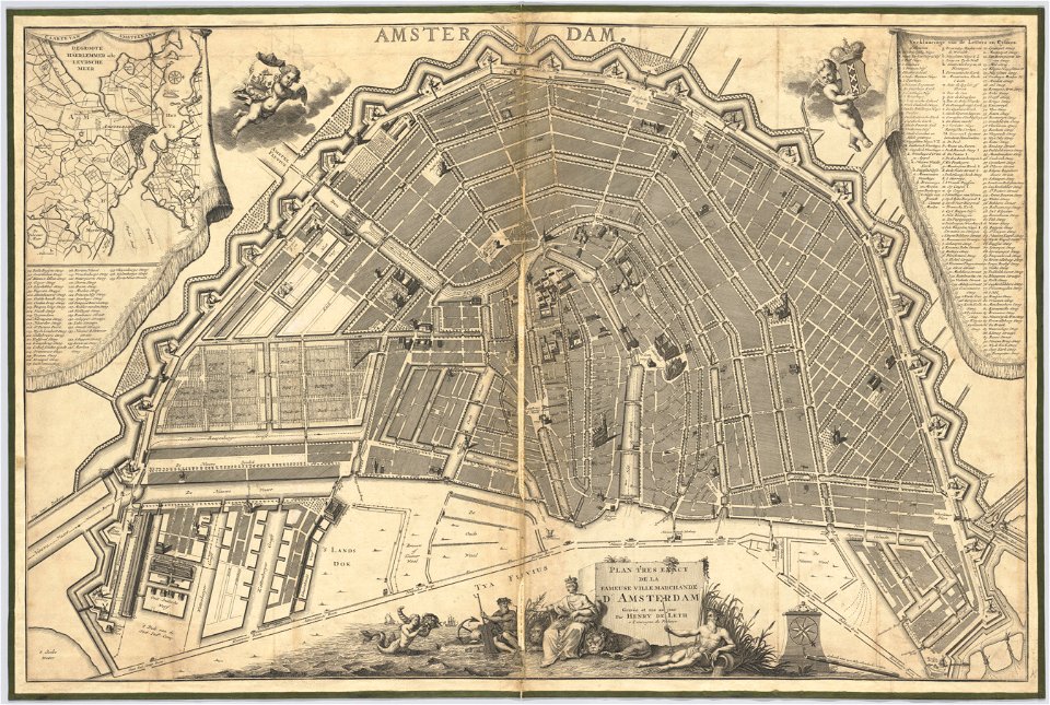
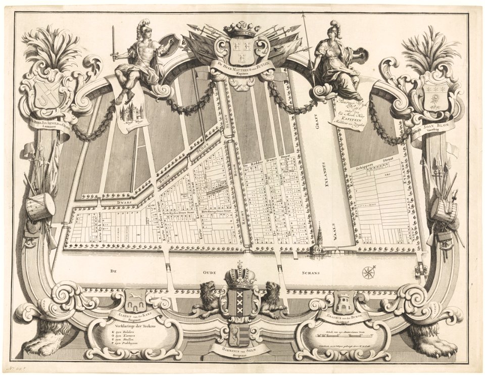
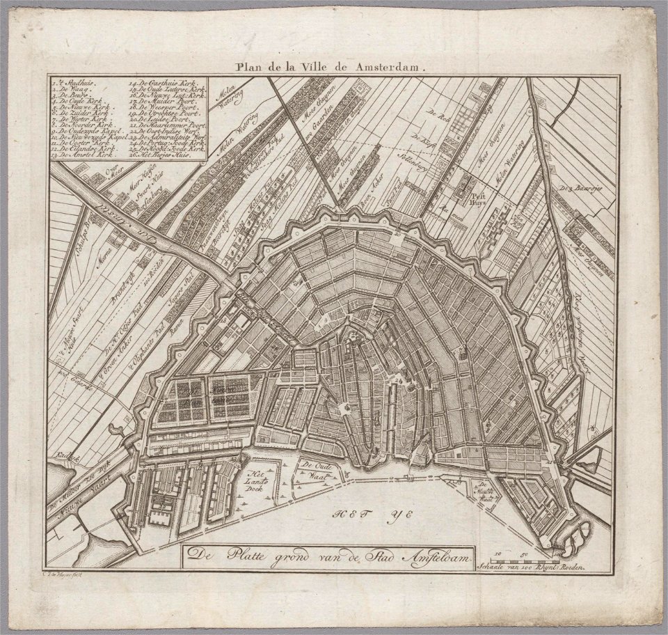
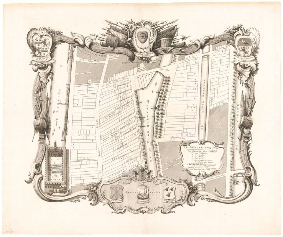
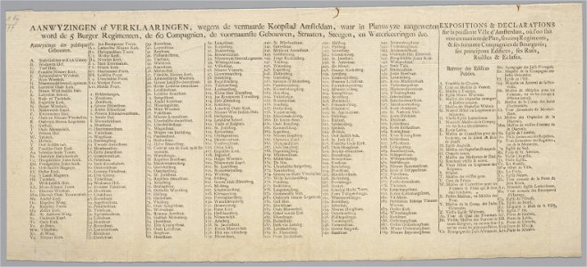
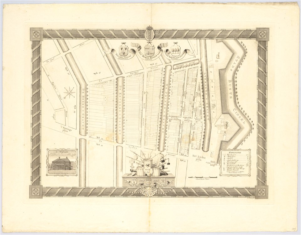
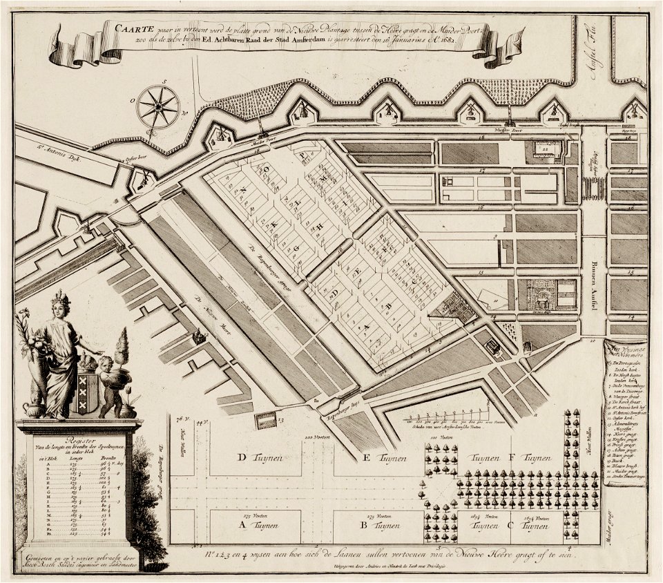
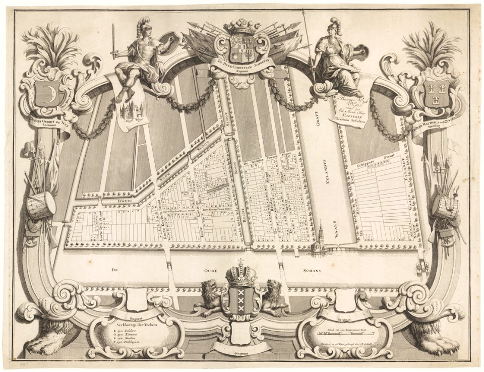
maps in the stadsarchief amsterdam
hendrik de leth
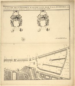
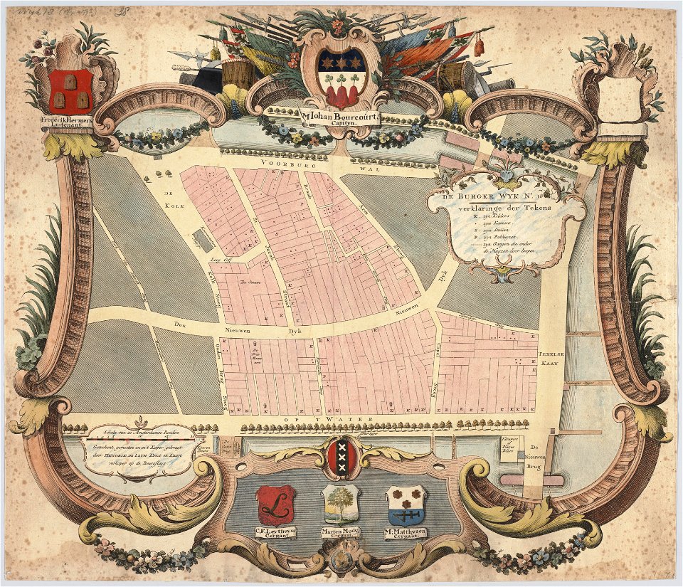
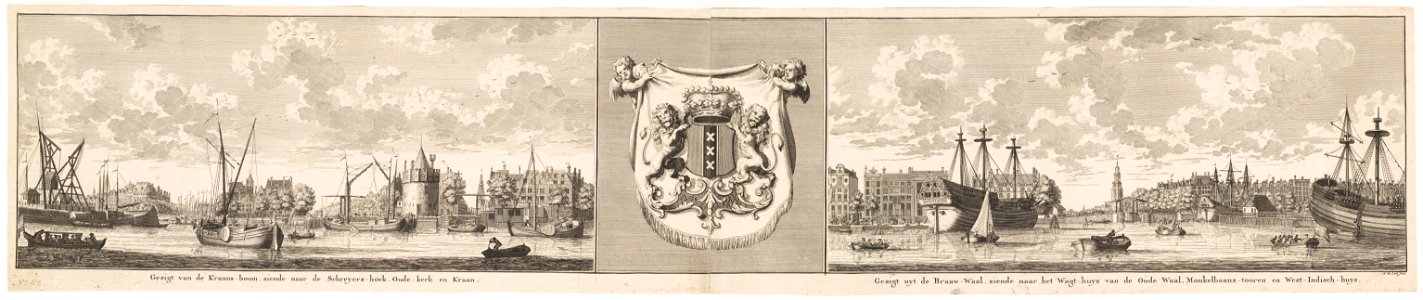
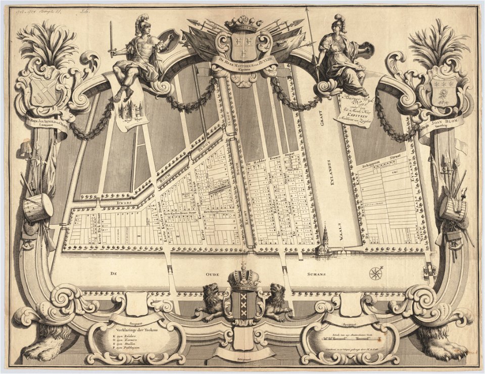
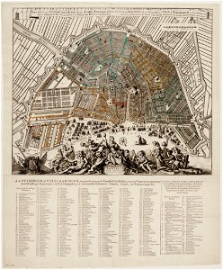
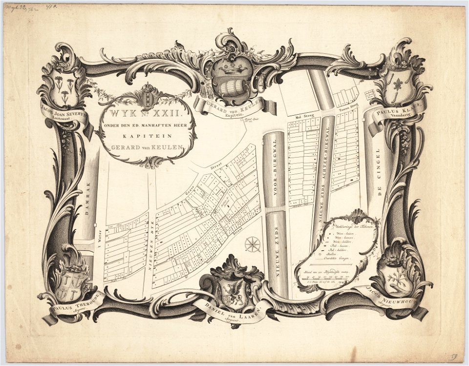
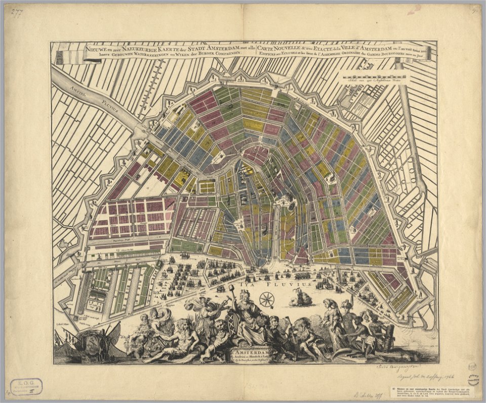
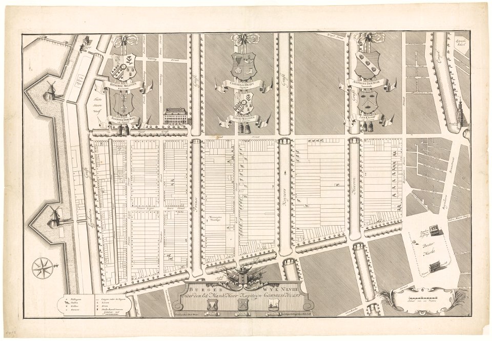
maps in the stadsarchief amsterdam
hendrik de leth
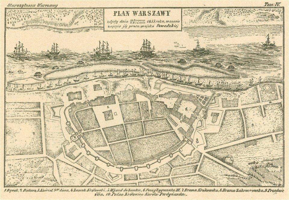
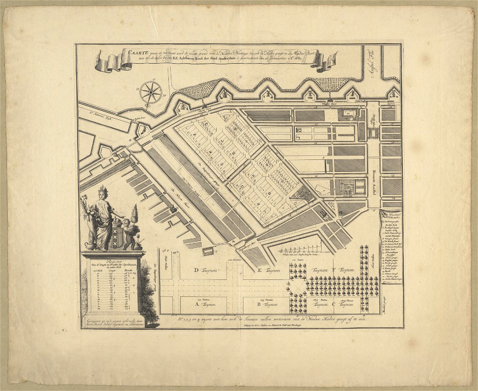
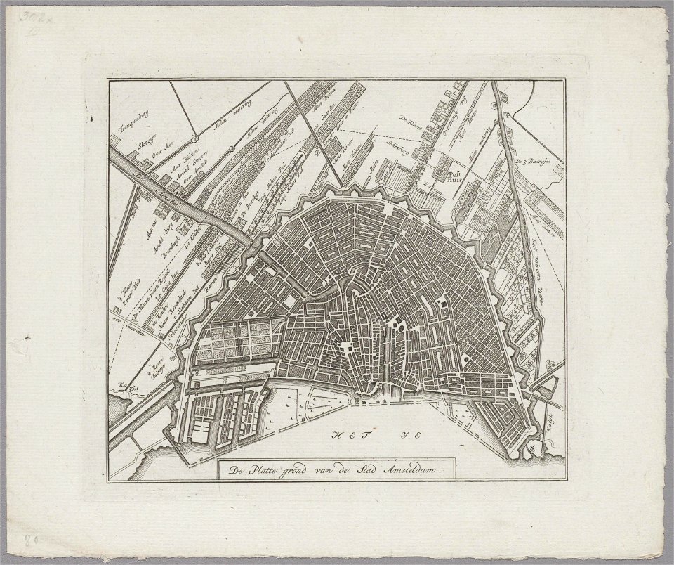
historical maps of warsaw
warsaw in the 1650s
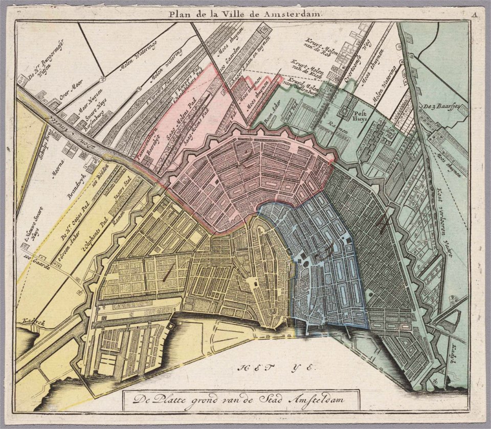
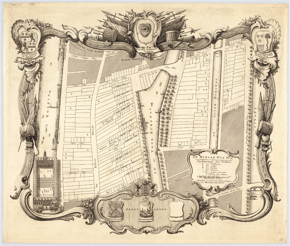
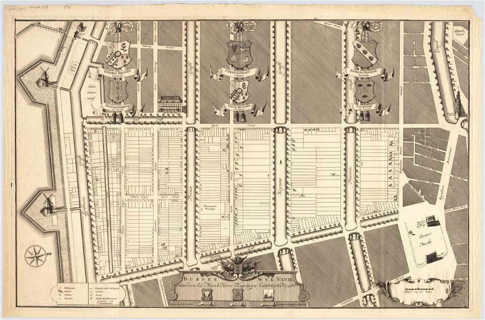
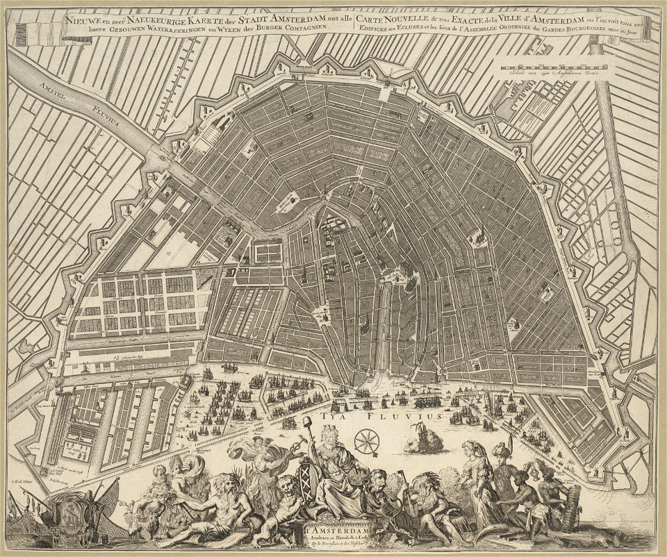
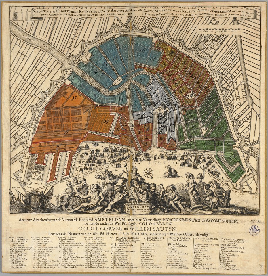
maps in the stadsarchief amsterdam
hendrik de leth
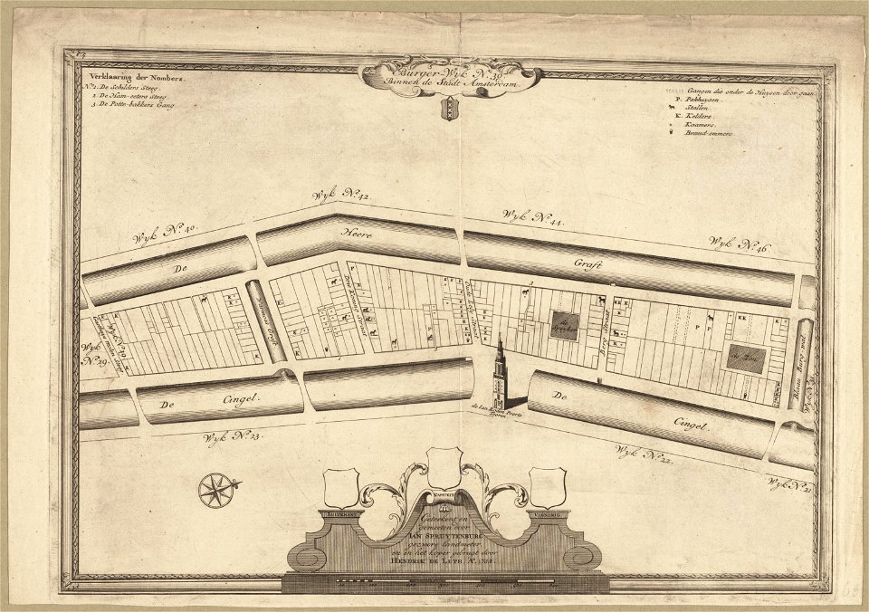
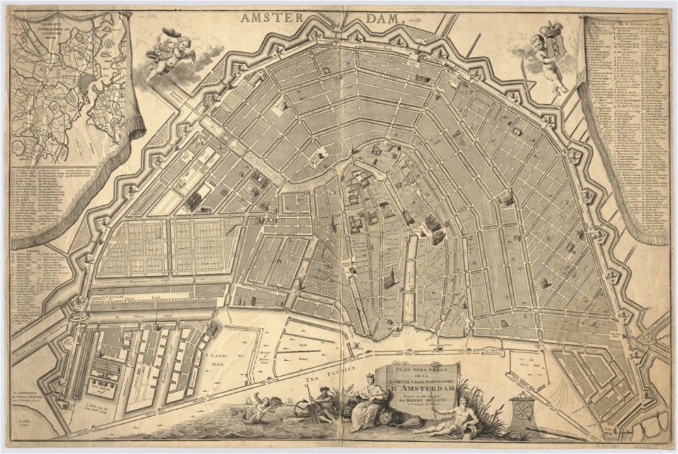
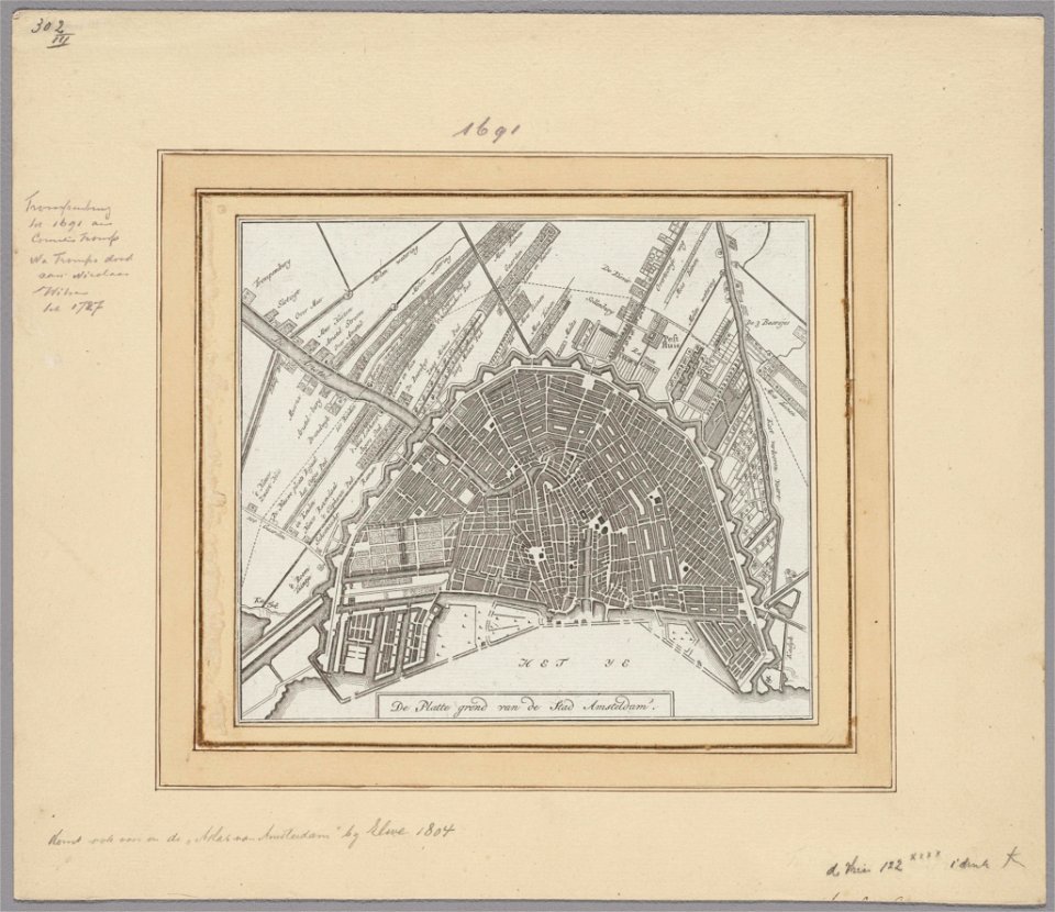
maps in the stadsarchief amsterdam
hendrik de leth
maps in the stadsarchief amsterdam
hendrik de leth
maps in the stadsarchief amsterdam
hendrik de leth
maps in the stadsarchief amsterdam
hendrik de leth
maps in the stadsarchief amsterdam
hendrik de leth
maps in the stadsarchief amsterdam
hendrik de leth
maps in the stadsarchief amsterdam
hendrik de leth
maps in the stadsarchief amsterdam
hendrik de leth
maps in the stadsarchief amsterdam
hendrik de leth
maps in the stadsarchief amsterdam
hendrik de leth
maps in the stadsarchief amsterdam
hendrik de leth
maps in the stadsarchief amsterdam
hendrik de leth
maps in the stadsarchief amsterdam
hendrik de leth
maps in the stadsarchief amsterdam
hendrik de leth
maps in the stadsarchief amsterdam
hendrik de leth
maps in the stadsarchief amsterdam
hendrik de leth
maps in the stadsarchief amsterdam
hendrik de leth
maps in the stadsarchief amsterdam
hendrik de leth
maps in the stadsarchief amsterdam
hendrik de leth
maps in the stadsarchief amsterdam
hendrik de leth
maps in the stadsarchief amsterdam
hendrik de leth
maps in the stadsarchief amsterdam
hendrik de leth
maps in the stadsarchief amsterdam
hendrik de leth
maps in the stadsarchief amsterdam
hendrik de leth
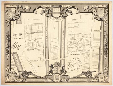
maps in the stadsarchief amsterdam
jan caspar philips
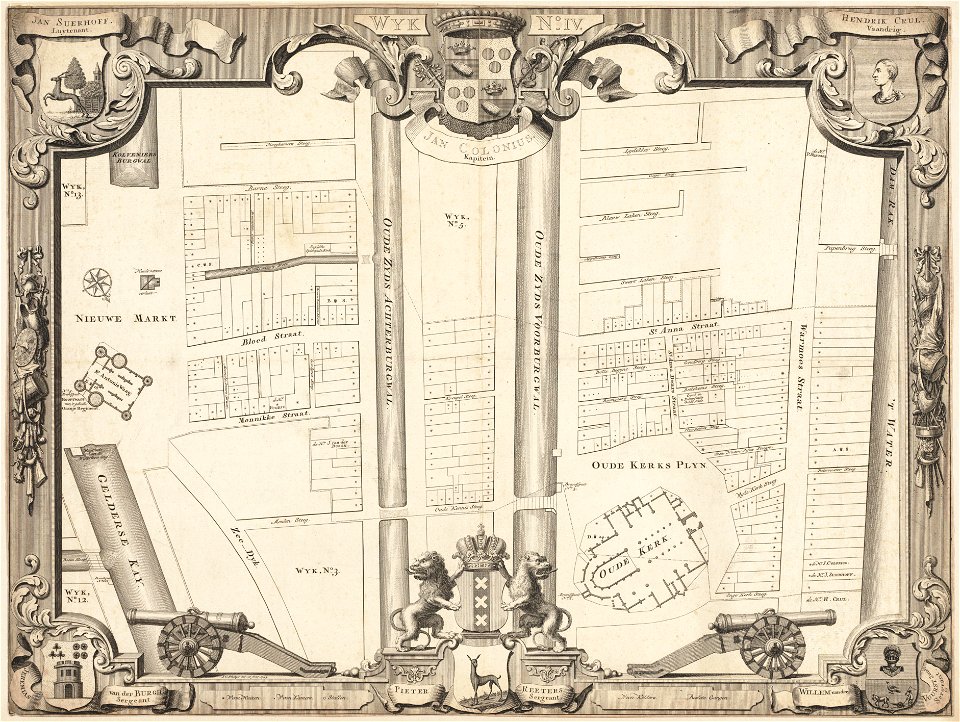
maps in the stadsarchief amsterdam
jan caspar philips
maps in the stadsarchief amsterdam
jan caspar philips
maps in the stadsarchief amsterdam
jan caspar philips
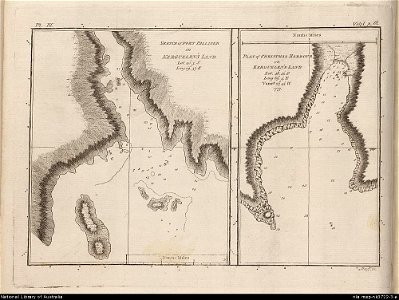
old maps of the kerguelen islands
port-christmas
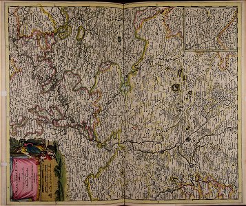
description de l'universe
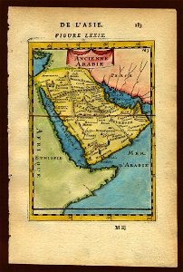
old maps of saudi arabia
description de l'universe
old maps of sri lanka
geographical illustrations by coronelli
maps of ancient corinth
description de l'universe
old maps of saudi arabia
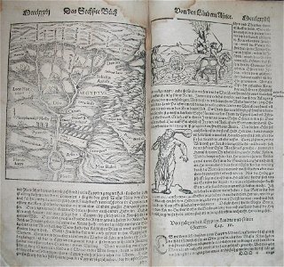
illustrations of cosmographia (münster)
1570s maps of egypt
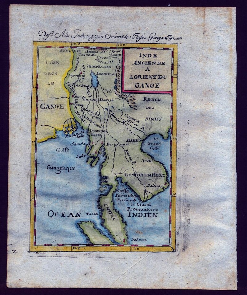
17th-century maps of india
description de l'universe
old maps of southeast asia
description de l'universe
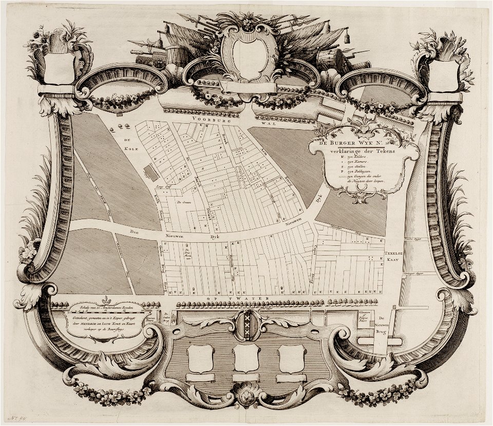
maps in the stadsarchief amsterdam
hendrik de leth
maps in the stadsarchief amsterdam
hendrik de leth
maps in the stadsarchief amsterdam
hendrik de leth
maps in the stadsarchief amsterdam
hendrik de leth
maps in the stadsarchief amsterdam
hendrik de leth
maps in the stadsarchief amsterdam
hendrik de leth
maps in the stadsarchief amsterdam
hendrik de leth
6301 - 6400 of 34,149
Next page
/ 342